BMS Aerial Photo and Professional Mapping Services
High Resolution Imagery
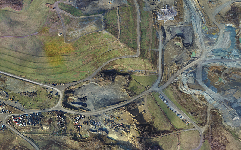
With the introduction of our UAS, We can achieve Image Resolutions in the Centimeters. Outstanding quality for Site Planning and for Photo Enlargements.
Mapping Services
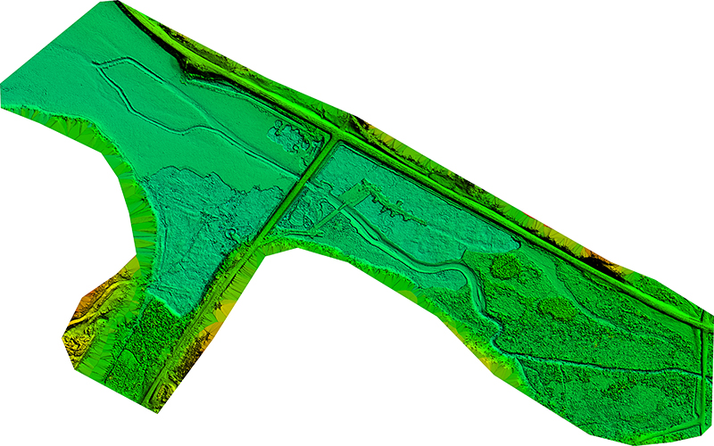
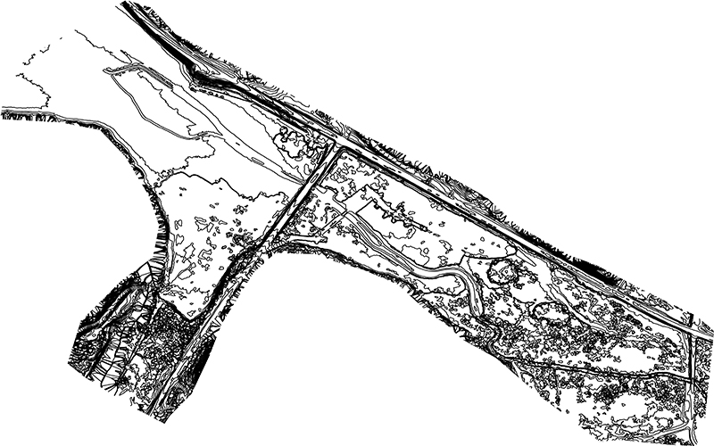
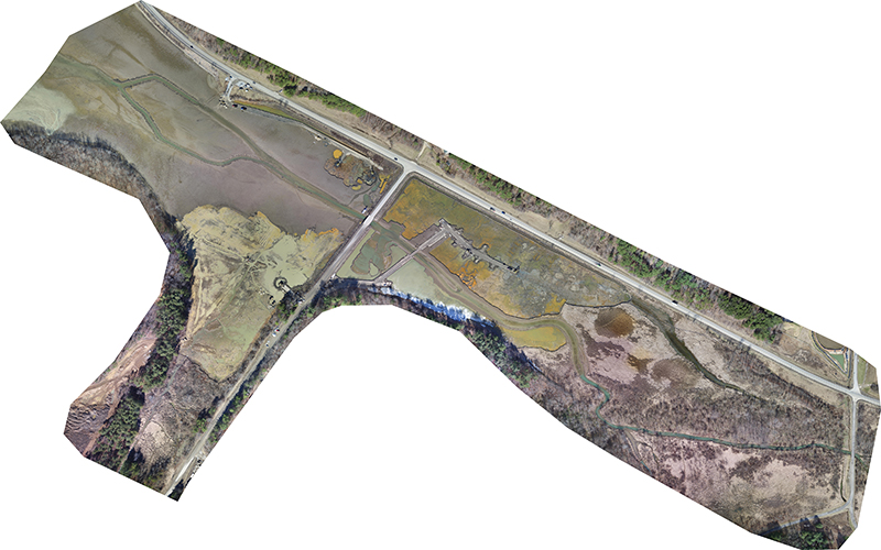
Our Mapping services include the complete collection and analyzing of your data. Using the latest photogrammetry software and trained professionals, we can provide you Topography Maps, Contour Maps, Base Maps, Point Clouds, Digital Surface Models and Ortho-Photography.
UAS Services – FAA Exemption No. 11878
Our UAS services include our FAA Section 333 exempt DJI Inspire 1 and flight crew. Our flight crew and UAS are fully insured and comply with all state and federal regulations regarding any UAS flight. We can provide you with 4k or 1080p HD Video for advertising, inspections or construction site progress. We can also provide 3D models of your site, like the one below. Also, any Photography needs you might need.
The Inspire 1 camera is made to capture 4K video as well as shoot 12 megapixel photographs. The camera lens is designed with 9 elements in 9 different groups, including an aspherical element. The result is complete clarity like you’ve never experienced. With support from Adobe DNG RAW you have the ability to make every shot a professional masterpiece. 4K is the future of high definition.
The Inspire 1 contains carbon fiber arms that lift out of sight, allowing you to shoot with an uninhibited 360° view of the world.
Inspire 1’s camera is capable of sending real-time video feed in 720p HD to your mobile device, giving you the bird’s eye view you’ve always wanted. With DJI’s Lightbridge technology you can now transmit video from up to 2 kilometers away.

