State Conservancy District
Muskingum Watershed Conservancy
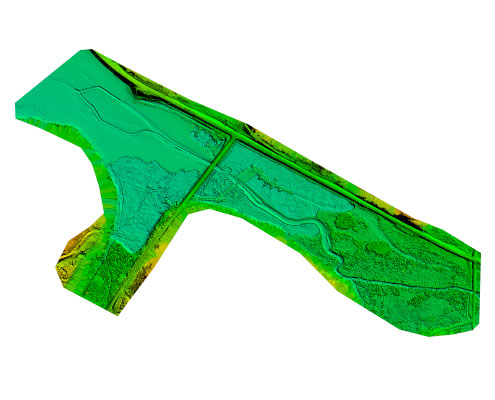
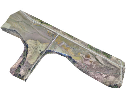
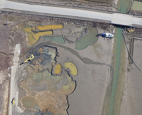
The Muskingum Watershed Conservancy conducted a dredging operation at Tappan Lake near Cadiz, Ohio. The project was conducted to maintain operational lake levels. The dredging company hired was required to monitor the approximate volume of material removed by counting the number of truck loads hauled. Due to the large scale of this project and approximations of load sizes, this method was determined lees accurate than optimal. BMS Aerial conducted a survey utilizing a UAV flight and advanced photogrammetry to record onsite conditions as the dredging was progressing. Ground control was surveyed in and aerial targets were placed to improve accuracy of mapping. The processed data provided estimations for the amount of material already removed and the remaining volumes of material onsite. The client received precision mapping of the current conditions, estimated volumes of cut and fill areas and high resolution orthomosaics.


